

The Laugavegur trail at a glance
- Distance: about 55 km, from Landmannalaugar to Þórsmörk
- Duration: 4 hiking days in the classic version, 5 to 6 with extra days for side hikes or bad weather
- Altitude: starts at around 600 m, highest point near Hrafntinnusker at just over 1,000 m, ends in Þórsmörk at about 200 m
- Level: moderate to challenging. Not technical, but long days, fast-changing weather and a few river crossings
- Season: late June to early September, depending on snow and weather
- Where to sleep: mountain huts or your own tent at the campsites next to the huts (wild camping is not allowed)
Why the Laugavegur trail is so special
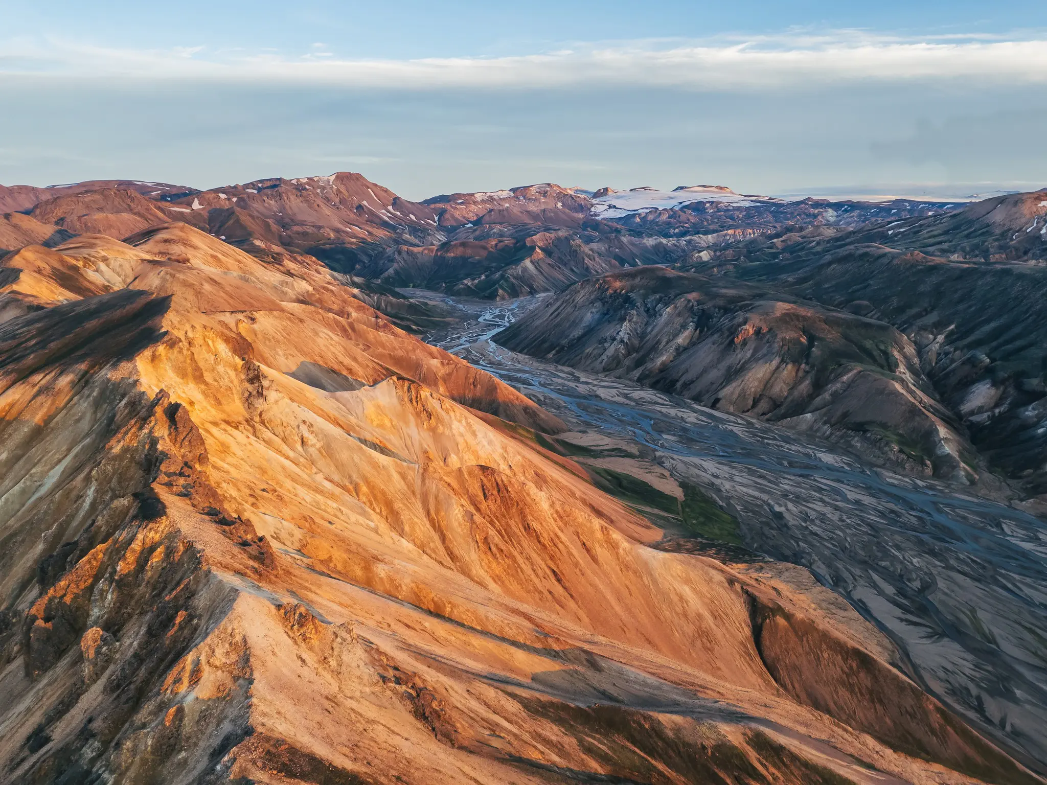
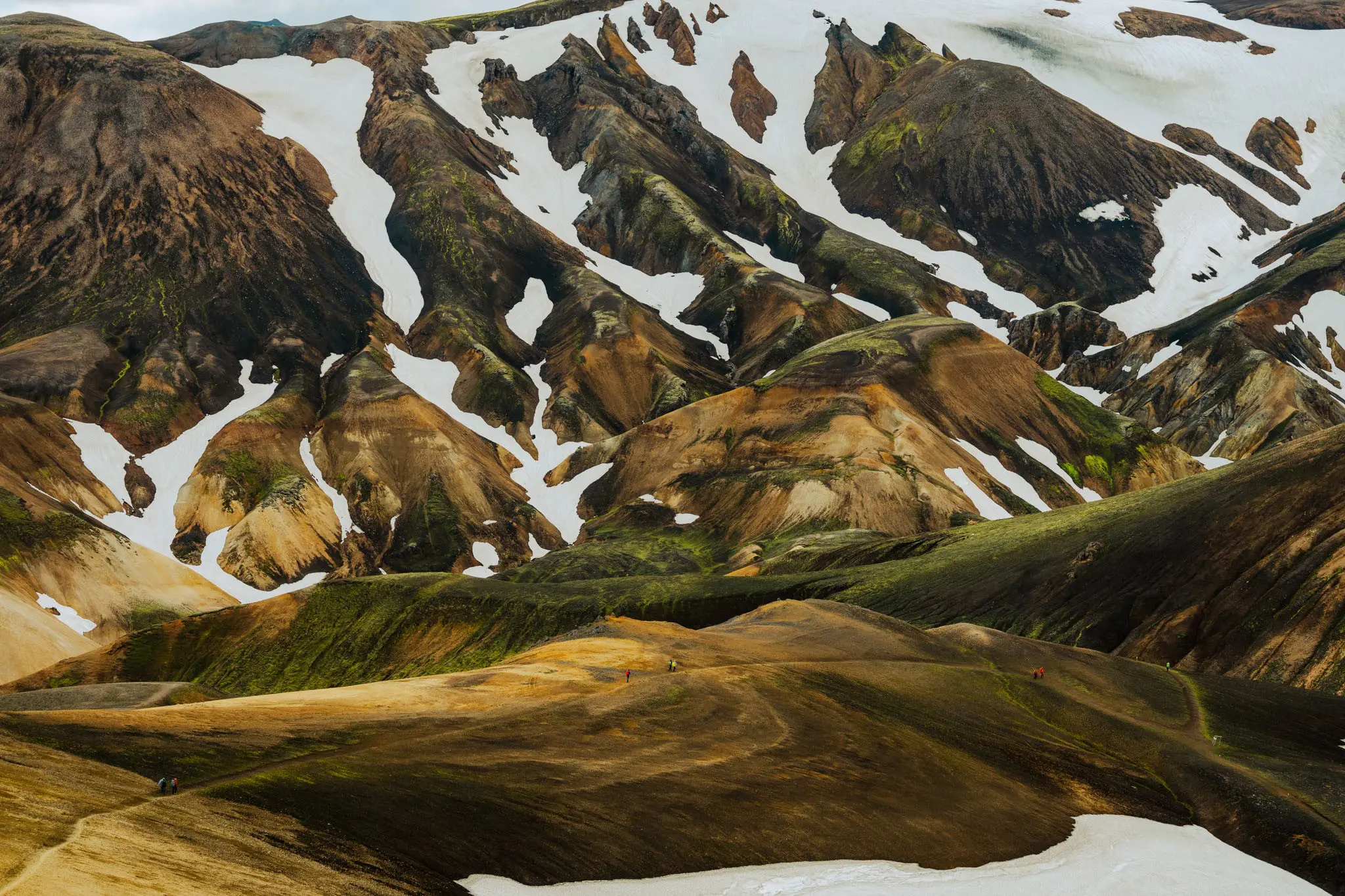
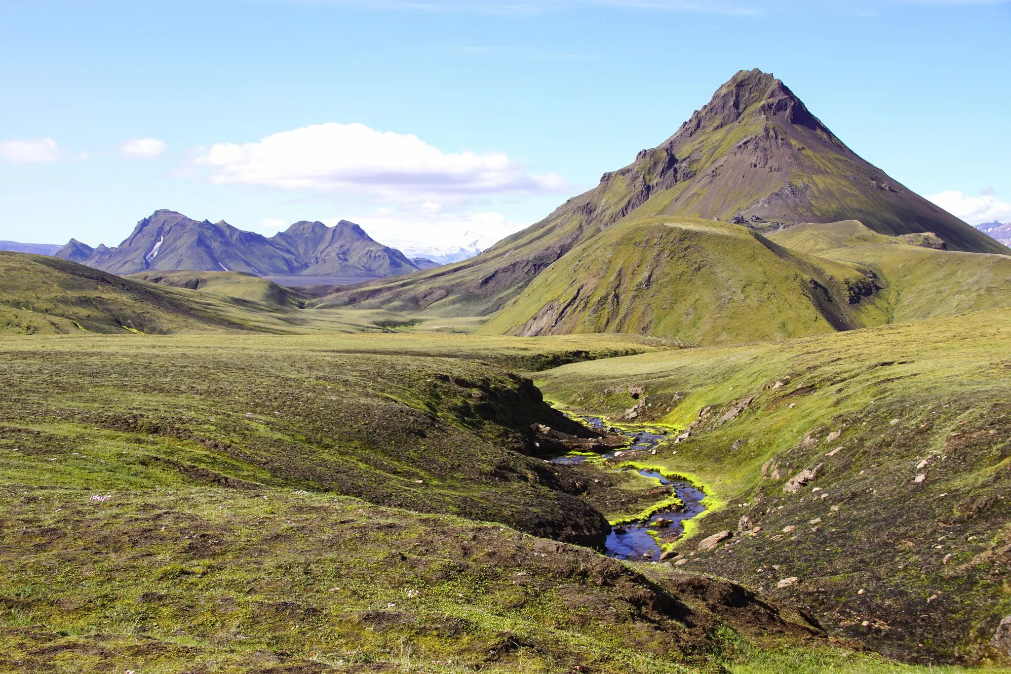
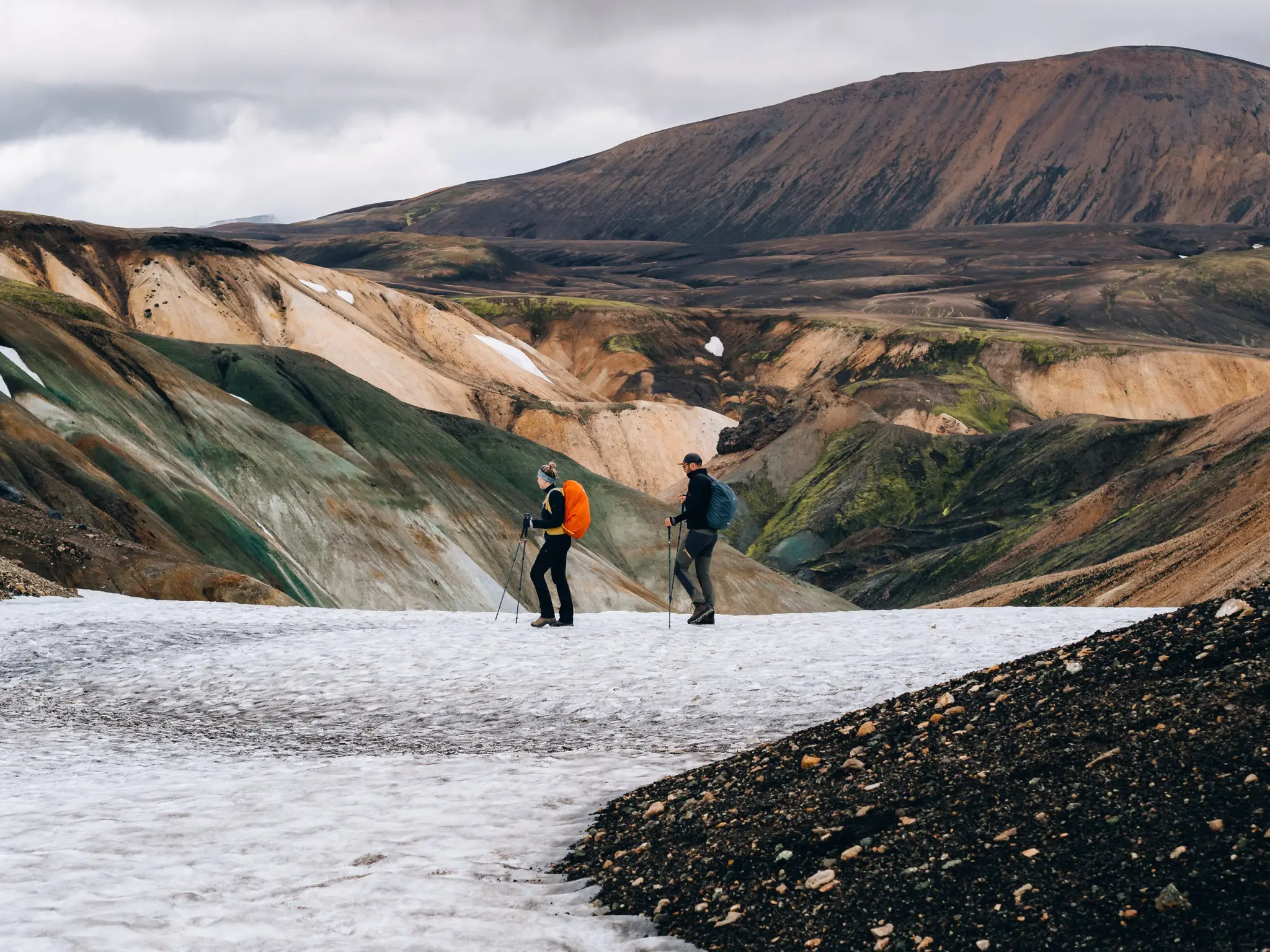
If you’ve ever seen photos of the red, yellow and green mountains of Landmannalaugar, you’ll understand straight away why the Laugavegur trail has featured on every list of the world’s best multi-day hikes for years. Over some 55 kilometres you walk right through the heart of the Icelandic Highlands: past steaming hot springs, across fields of black obsidian, through snowfields, along turquoise lakes and over endless plains of black volcanic sand. On the last day you descend to Þórsmörk, a green valley full of birch woods tucked between three glaciers.
What makes the trail unique is the constant change of scenery. No two days are alike, and sometimes the world around you transforms completely within an hour. In this guide you’ll find everything you need to hike the Laugavegur yourself: the stages, the best season, huts and camping, river crossings, transport, safety and your packing list.
When can you hike the Laugavegur?
The Laugavegur lies in the Highlands, which are out of reach for much of the year. The highland roads to Landmannalaugar and Þórsmörk only open once the snow has melted, and the staffed huts run roughly from late June to early September. Outside that period the trail is only for very experienced winter hikers with a guide.
- Late June – early July: still lots of snow around Hrafntinnusker and often higher rivers from meltwater. Quieter, but you need to be well prepared for snowfields.
- Mid-July – mid-August: peak season. Most of the snow has gone, the path is clearly visible and the rivers are at their most manageable. Also the busiest time: huts are booked up months in advance.
- Late August – early September: fewer people, beautiful autumn colours and the first dark nights, but also a higher chance of storms and cold.
In July and August it barely gets dark in the Highlands, which means you can choose your own pace. Expect daytime temperatures of 5 to 15 °C, but on the highest section it can snow even in summer.
The route: the Laugavegur trail day by day
Most hikers walk from north to south, from Landmannalaugar to Þórsmörk. That has two advantages: you start high and finish low (so more descent than ascent overall), and the huts are booked in that direction too. The four-day split below is the classic way; an extra day in Landmannalaugar or Þórsmörk lets you get more out of the surroundings.
Starting point: Landmannalaugar
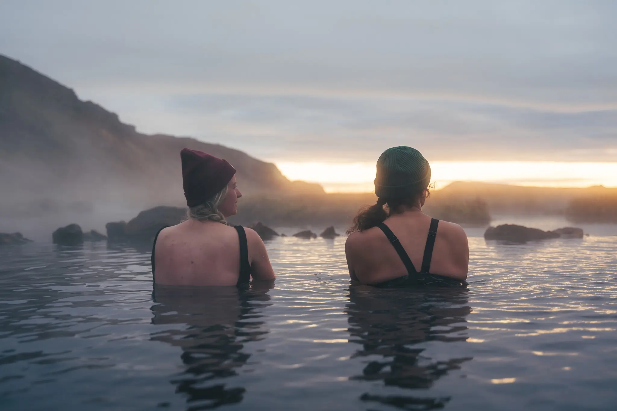
After about four hours on the bus from Reykjavík, the last stretch along bumpy highland tracks, you arrive in Landmannalaugar. Take your time here: climb one of the colourful peaks around the camp (such as Bláhnúkur or Suðurnámur) for the view, and finish in the natural hot spring next to the hut. There’s no better warm-up for the days ahead.
Day 1: Landmannalaugar – Hrafntinnusker (± 12 km)
- Ascent: ± 450–500 m
- Hiking time: 4–5 hours
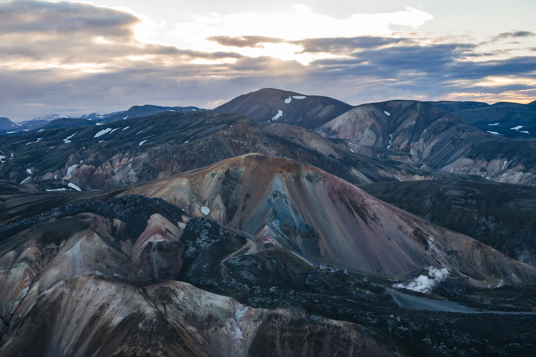
You set off through the Laugahraun lava field, where black obsidian glitters between the moss. Then you climb steadily between rhyolite mountains in every colour, past the steaming geothermal area of Stórihver. The higher you go, the more snow there is: even in midsummer you’ll cross snowfields here. Hrafntinnusker is the highest and coldest hut on the route and is often wrapped in fog or wind.
Note: there are ice caves around Hrafntinnusker. Never go inside, they can collapse without warning.
Day 2: Hrafntinnusker – Álftavatn (± 12 km)
- Ascent: ± 250 m · descent: ± 700 m
- Hiking time: 4–6 hours
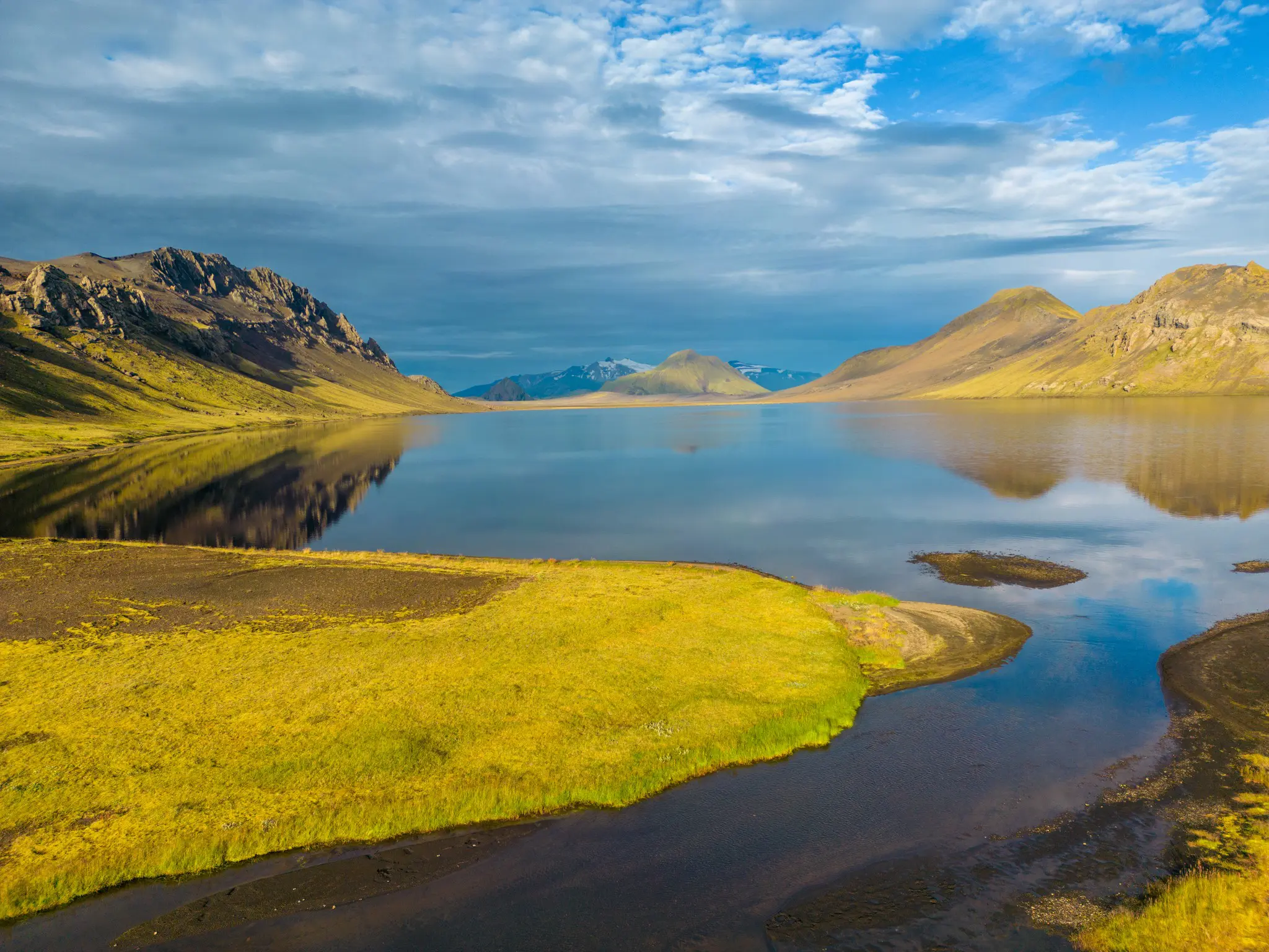
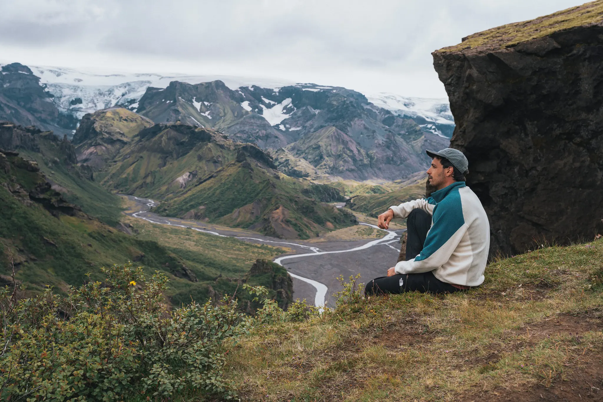
After a final stretch through snow and colourful hills you reach the viewpoint above Jökultungur. This is THE photo of the trail: below you lies a green valley with Lake Álftavatn, and on the horizon the Mýrdalsjökull and Eyjafjallajökull glaciers. The descent down Jökultungur is steep and can be slippery, so take your time. At the bottom your first real river crossing (Grashagakvísl) awaits before you reach the lake.
Many hikers combine days 1 and 2 into one long day of around 24 kilometres, spending the night at Álftavatn. It’s the queen stage of the trail: tough, but also the most varied day. If you’d rather take it easy, stay overnight in Hrafntinnusker.
Day 3: Álftavatn – Emstrur/Botnar (± 15–16 km)
- Ascent and descent: ± 300–400 m each
- Hiking time: 5–7 hours
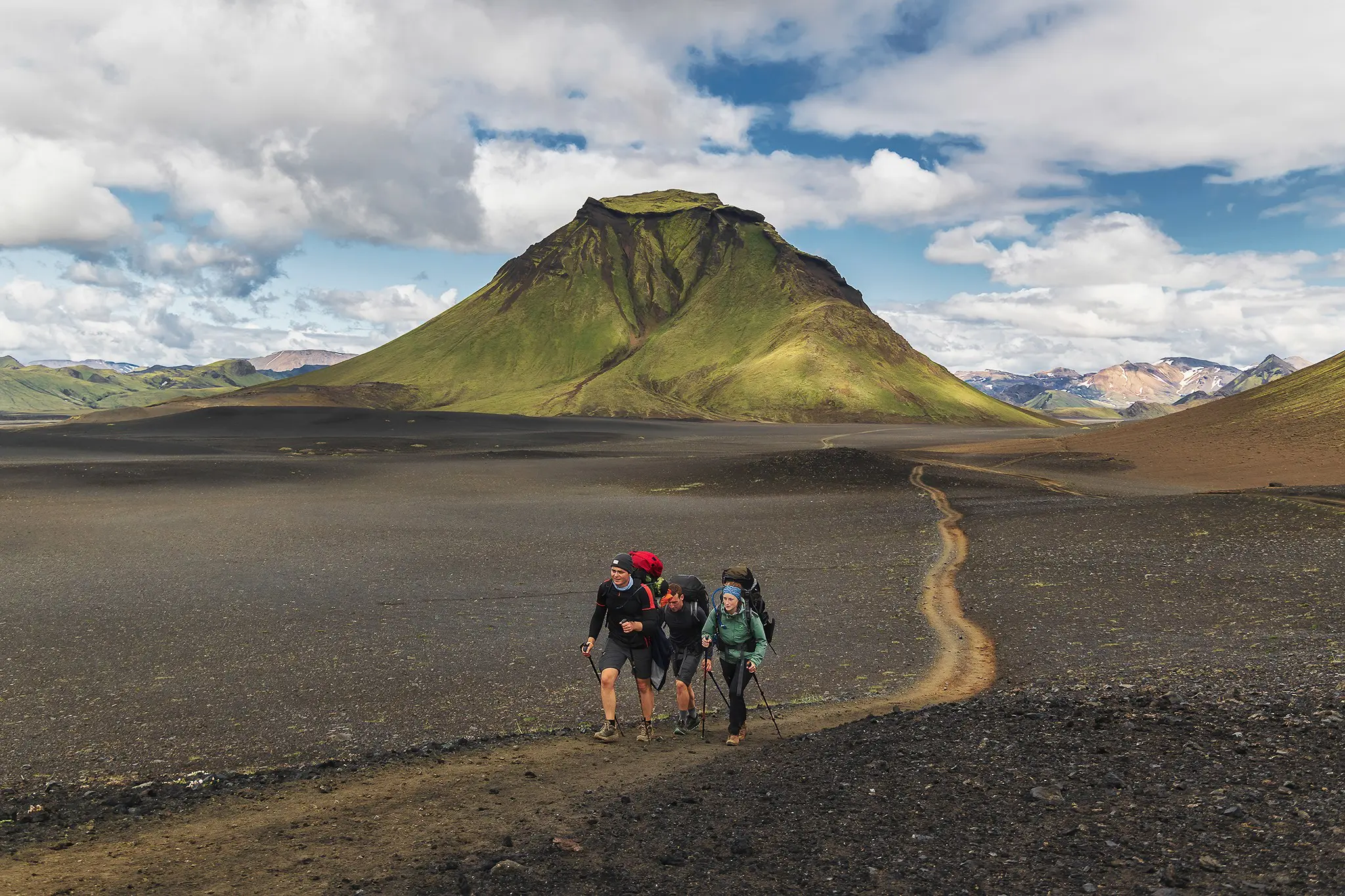
Today the scenery changes again. After the small hut at Hvanngil (a good alternative place to stay) you reach Bláfjallakvísl, often the deepest and coldest river on the route. Next comes a long walk across Mælifellssandur: a gigantic plain of black volcanic sand with the green cone of Mælifell and the Mýrdalsjökull glacier on the horizon. A bridge takes you over the wild Innri-Emstruá before you reach the Emstrur (Botnar) hut, hidden in a green valley.
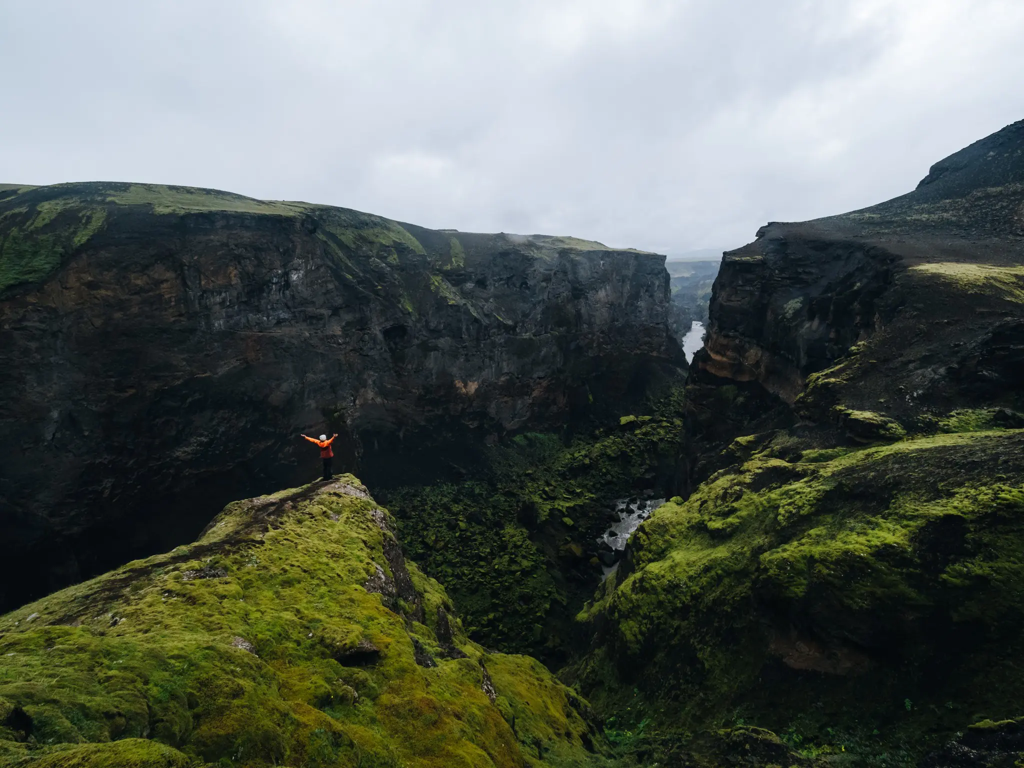
Tip: in the evening, walk to the edge of the Markarfljót canyon, some 30 to 45 minutes from the hut. This canyon, up to 200 metres deep, is one of the hidden gems of the route.
Day 4: Emstrur – Þórsmörk (± 15–16 km)
- Ascent: ± 400 m · descent: ± 650 m
- Hiking time: 5–7 hours
On the last day you follow the edge of the Markarfljót canyon, cross the churning Syðri-Emstruá on a narrow bridge and slowly descend through an ever greener landscape. After the bridge over the Ljósá there’s one more big river: the Þröngá, wide and sometimes above the knee. Then you walk into the birch woods of Þórsmörk. After days of sand, lava and snow, it feels almost like another planet.
There are three camps in Þórsmörk: Langidalur (Skagfjörðsskáli), Húsadalur and Básar. Check carefully which camp you’re staying at and where your bus leaves from, as they are quite far apart.
Huts or camping?
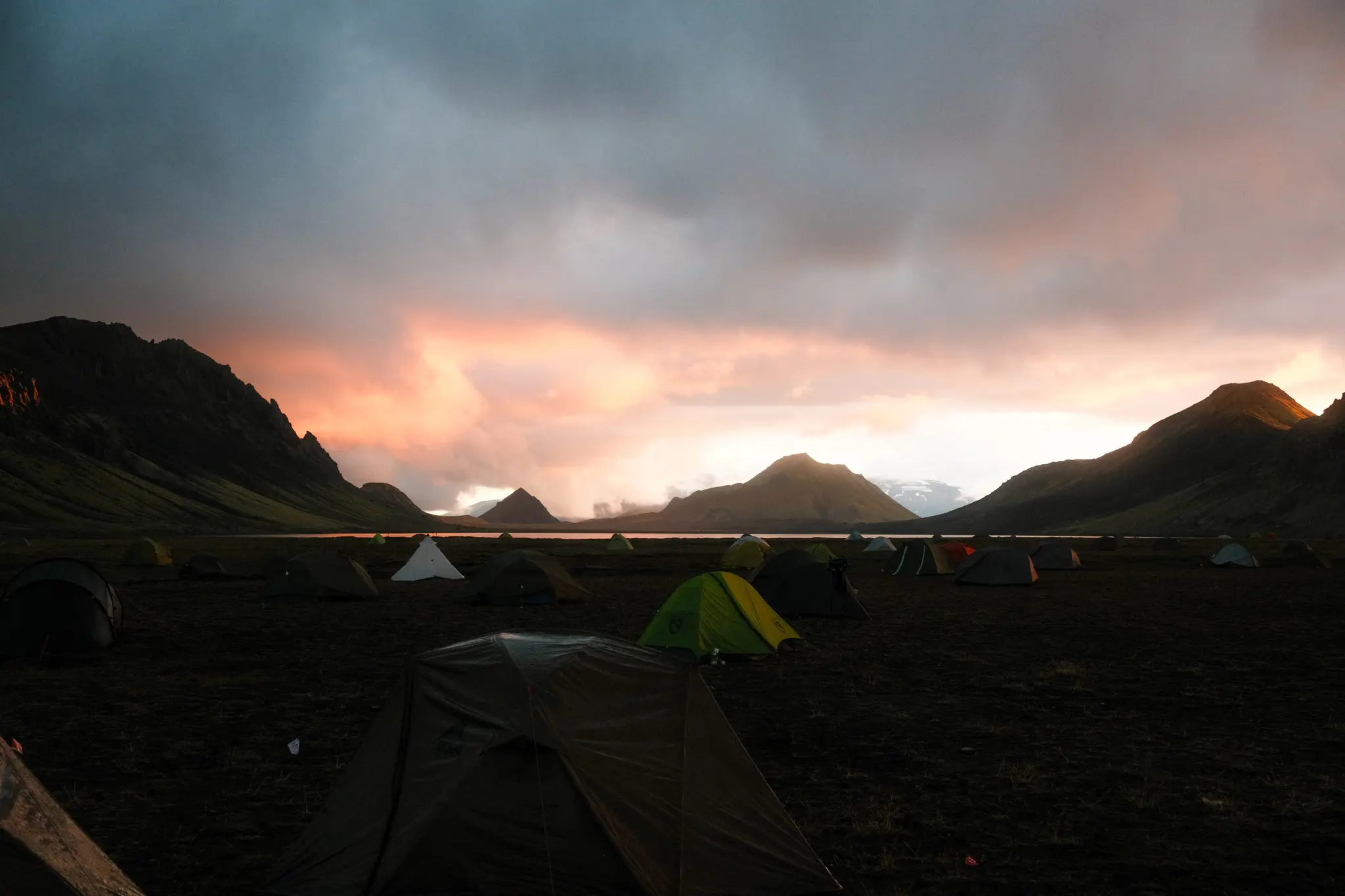
Along the Laugavegur there are huts at Landmannalaugar, Hrafntinnusker, Álftavatn, Hvanngil, Emstrur and Þórsmörk. Most are run by the Icelandic Touring Association, Ferðafélag Íslands (FÍ). You sleep in shared dormitories on mattresses, but without bedding: you always need your own sleeping bag. There’s a shared kitchen and toilets; showers aren’t available everywhere.
- Book extremely early. Hut places are limited and the popular summer dates are often full by winter. FÍ also only books in the walking direction, north to south, and often releases fixed multi-night packages first.
- Price: a bed in a hut easily costs more than 100 euros per person per night. Camping is much cheaper. Always check the current rates on the FÍ website.
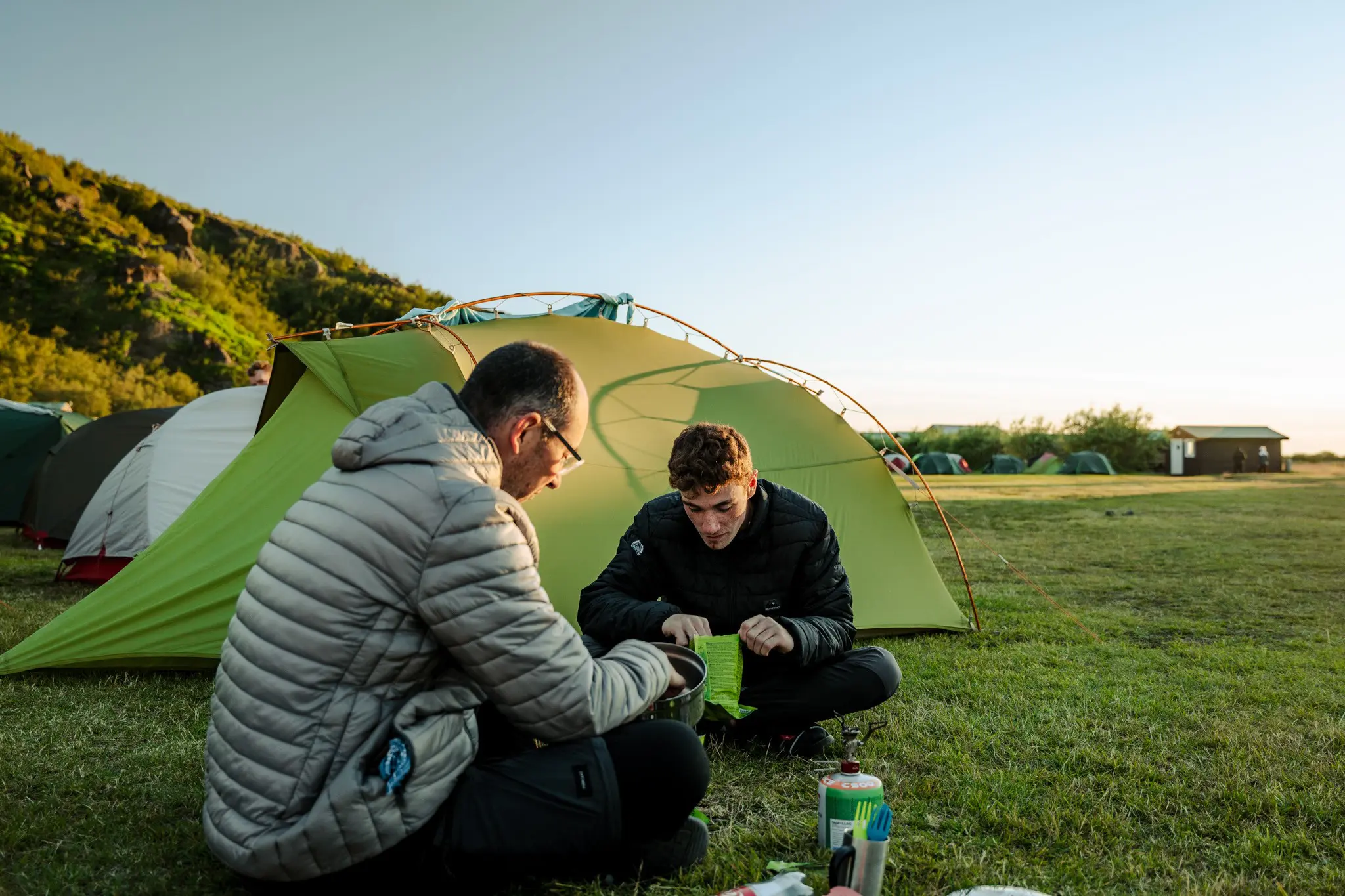
- Camping: only at the designated campsites next to the huts. Wild camping is forbidden in the nature reserve. As a camper you may use the toilets (and showers where available), but not the kitchen or indoor areas. So you cook on your own stove.
- Your tent: bring a sturdy tent that can handle strong wind (at least three-season), an insulating sleeping mat (R-value of at least 3) and a sleeping bag with a comfort rating around freezing.
Don’t fancy chasing a hut bed months ahead? With organised options such as The Iceland Trail, your nights are already arranged for you, in a tent or in the huts.
River crossings: how to do them safely
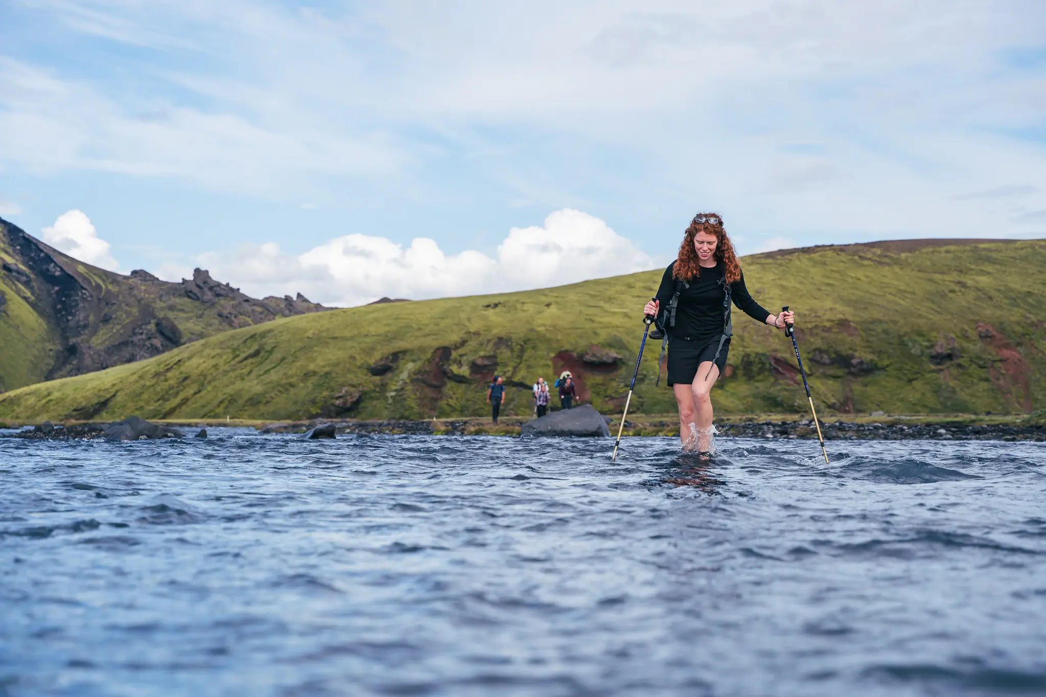
For many hikers the rivers are the most exciting part of the Laugavegur. The biggest ones have bridges, but several glacial rivers must be waded, including Bláfjallakvísl and Þröngá. The water comes from the glaciers and is ice cold. How deep it is depends on snowmelt, weather and time of day.
- Water shoes or sandals: take off your hiking boots and cross in shoes that fasten securely. Barefoot is dangerous, the riverbed is rocky.
- Trekking poles: this way you always have two points of support. Cross at an angle, facing upstream.
- Unbuckle the hip belt and chest strap of your backpack, so you can shed it quickly if you fall.
- Cross in the morning if you can: after a warm day or heavy rain, rivers are usually higher.
- Look for the widest spot, where the water is usually shallowest and slowest. Markers often show the best crossing point.
- Cross together, arm in arm, and if in doubt, wait for other hikers or for lower water.
After the crossing: dry your feet well, put on dry socks and carry on. A small towel is worth its weight in gold.
Getting to the start and back
Landmannalaugar and Þórsmörk lie in the Highlands and can only be reached via unpaved F-roads with river fords. So don’t drive there yourself in an ordinary (rental) car. In summer, highland buses run daily from Reykjavík to Landmannalaugar and back from Þórsmörk. The ride to Landmannalaugar takes about four hours, the one from Þórsmörk a little less.
- Book your bus tickets in advance, especially the return from Þórsmörk: seats are limited.
- Choose an open return if possible, so you have some leeway in bad weather.
- You can also get on or off at a few places along the way (such as Álftavatn and Emstrur) if you want to shorten the trail.
Would you rather not puzzle over bus timetables? With The Iceland Trail, all transport to and from the trail is included, from a basecamp near Reykjavík.
Food and drink along the way
There are no supermarkets or restaurants along the trail. The huts sometimes sell a few basics, but don’t count on it. So you bring all your food for the entire trek from Reykjavík (or have it carried with luggage transport).
- Breakfast and dinner: freeze-dried meals or pasta, couscous and noodles are light and quick to prepare.
- Stove and gas: gas canisters aren’t allowed on planes. Buy them in Reykjavík.
- Snacks: trail mix, bars, chocolate and dried sausage. Bring more than you think: cold and wind burn a lot of energy.
- Water: carry at least 2 litres. You can refill at the huts. Water from small streams is usually clear, but glacial rivers are cloudy and not ideal for drinking.
Packing list for the Laugavegur trail
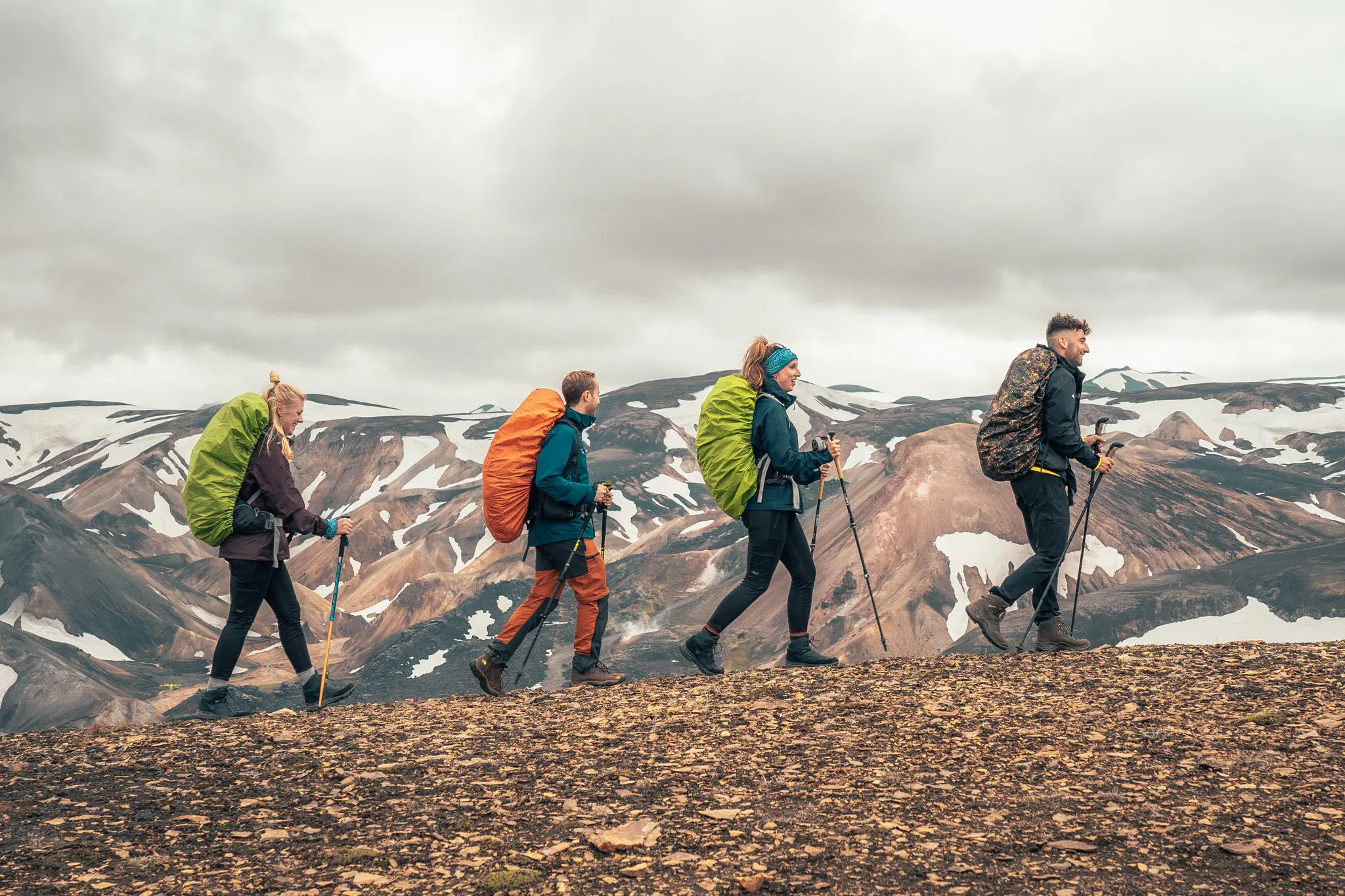
The weather in the Icelandic Highlands is unpredictable: sun, rain, wind and snow can follow each other within a single day. Good clothing isn’t a luxury, it’s your most important safety gear.
- Waterproof hiking boots (category A/B) with good ankle support, broken in before you leave
- Rain jacket AND rain trousers with a waterproof rating of at least 15,000 mm
- Layers: thermal underwear, a fleece, a warm (down) jacket
- Hat, buff and gloves, even in July
- Water shoes or sandals and a small towel for the rivers
- Trekking poles
- Sleeping bag (comfort around 0 °C) and, if camping, a storm-proof tent and insulating mat
- Sunglasses and sunscreen: snow and long days mean lots of light
- Sleep mask: in summer it barely gets dark
- First-aid kit with blister plasters
- Offline map on your smartphone, a power bank, and a paper map and compass as backup
Backpack: if you carry everything yourself, you’ll need a 55 to 70 litre pack. With luggage transport, a 30 to 35 litre daypack is enough. On The Iceland Trail, a large share of hikers choose that option: your luggage then travels by 4×4 from camp to camp.
Safety in the Highlands
- Keep an eye on the weather: check the forecast of the Icelandic Met Office (vedur.is) and the alerts on safetravel.is every day. The hut wardens are also happy to advise on weather, snow and rivers.
- Leave a travel plan via Safetravel, so the alarm is raised if you don’t arrive.
- Stay on the marked trail. It’s well waymarked with posts, but in fog you can lose your way quickly. In a storm: don’t set off, or turn back to the previous hut.
- Never enter ice caves and stay away from the edges of snowfields above streams.
- Respect nature: moss grows extremely slowly and a footprint can stay visible for years. Take all your rubbish back with you.
- Call 112 in an emergency. There’s no signal everywhere, so agree what you’ll do if you lose each other.
Rules, access and rates can change every season. So always check the latest information from Ferðafélag Íslands and Safetravel just before you leave.
Bonus: the Fimmvörðuháls to Skógar
Still got energy left in Þórsmörk? Then you can extend the Laugavegur with the Fimmvörðuháls, a hike of around 22 to 25 kilometres from Þórsmörk to Skógar on the south coast. You climb between the Eyjafjallajökull and Mýrdalsjökull glaciers, past the Magni and Móði craters formed during the 2010 eruption. The descent along the Skógá river, with dozens of waterfalls, ends at the famous Skógafoss. It is a long, steep day that you should only do in good weather.
Do it yourself or go with an organised trip?
The Laugavegur is perfectly doable on your own if you have experience with multi-day treks, can navigate and book your huts, campsites and buses in time. Above all it takes a lot of planning: huts fill up fast, bus timetables are limited and you carry all your food and gear.
If you want to hike the trail without that logistical puzzle, there are organised options. The Iceland Trail, for example, combines five hiking days on the Laugavegur with transport, nights in a tent or hut, and a choice between a guided trek or a self-guided format with a ranger at every camp. Luggage transport and food packs can be added as options, so you can focus entirely on the landscape.